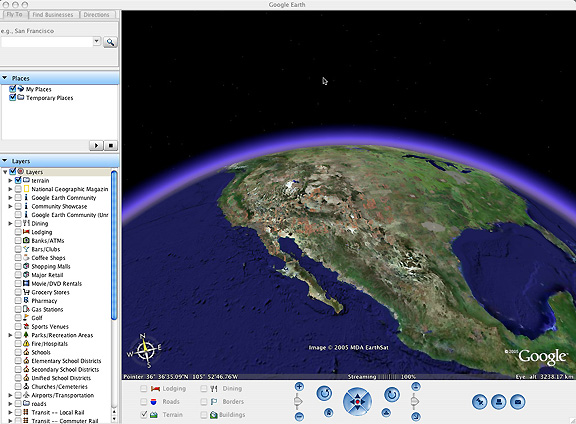
Geographic Information Systems - GIS
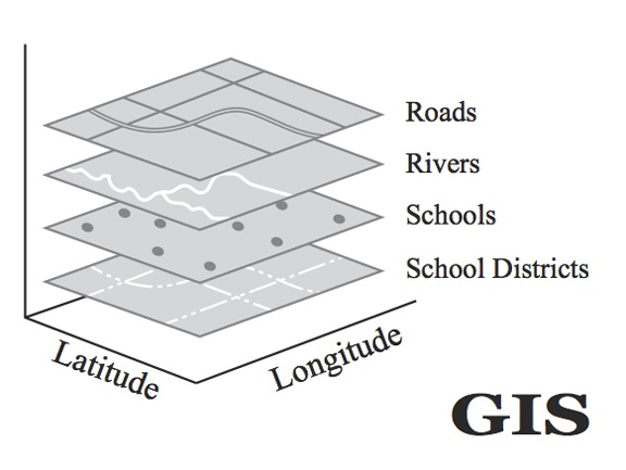
- digital map layers, coordinate system (lat/long), linked to databases.
- ex) ArcGIS and Delaware County OH GIS map and data layers
- GIS technology drives WWW mapping sites
- GIS used as a problem solving & analytical tool in many fields: Archaeology, Agriculture, Banking
Defense and Intelligence, Utilities, Engineering, Fire & EMS, Homeland Security,
Forestry, Health and Human Services, Insurance, Landscape Architecture, Law Enforcement
and Criminal Justice, Location Services, Mining and Earth Sciences, Natural Resources,
Petroleum, Real Estate, Retail Business, State and Local Government, Telecommunications,
Transportation...
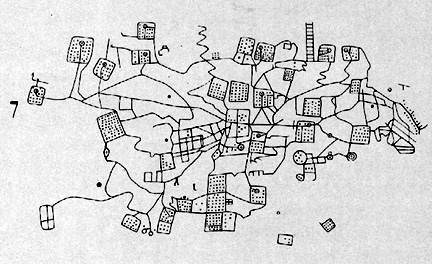
- Intellectual context of cartography & GIS: history of mapping and GIS, epistemological & ontological issues,
critical cartography & GIS, participatory mapping & GIS, etc.
GIS & Mapping at Ohio Wesleyan University
- GIS and Mapping a unique aspect of Ohio Wesleyan University
- Rapidly growing interest in GIS and mapping at Liberal Arts colleges
- GIS & Geography: Ohio Wesleyan compares with Middlebury, Macalester, Skidmore, Smith, Vassar, Mount Holyoke...
- National Institute for Technology and Liberal Education (NITLE) GIS Initiative
- New Book: Understanding Place: Mapping and GIS Across the College Curriculum
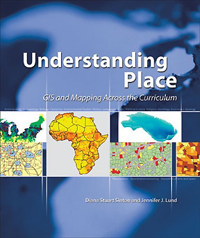
- chapters on Liberal Arts GIS in sociology, economics, political science, urban studies, geography,
biology, environmental studies, chemistry, geology, foreign languages, history, religion, music
- GIS & cartography in the Department of Geology and Geography
- Three mapping & GIS courses, dedicated GIS lab with GIS software, GPS equipment
- Students in GIS courses: 1/3 Geography, the rest a dozen other majors
- Upper Level course (Geography 355): GIS concepts, technology, and "real world" application...
- GIS data & maps for Ohio Wesleyan's two nature preserves
- Development of a GIS web server application
- Mapping & analysis of water conditions in Delaware Run
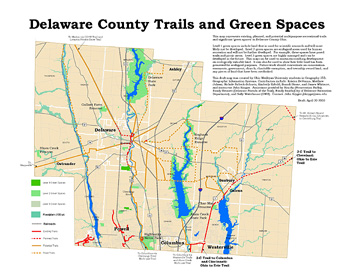
- Mapping & analysis of green spaces in Delaware County
- Mapping & analysis of exercise routes near Ohio Wesleyan
- Mapping & analysis of potential recreation trails in Delaware County
 Click to Enlarge
E-mail: jbkrygier@owu.edu
Krygier WWW pages
OWU Home
OWU Geology and Geography Home